Just in time for Halloween, it's The Thirteen Scariest Things in IT.
Hmm. In my day job:
I study #12
A case could be made that I contribute to #8
I resent #4 (keep losing customers to it)
I (sometimes) promote #3
And we all hate #2
Tuesday, October 31, 2006
Kain Hut with Eastpost behind

This was the view west of the tents. Not so bad really - waterfall, cliffs, peaks...


K on the bridge
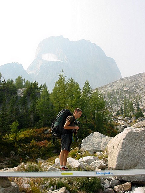
A handy dandy bridge crossing a glacier-fed stream. Snowpatch Spire, the last climbed of the Bugaboos (1940) is in the background.
Bugaboos hike-in

A handy bridge with Snowpatch Spire in the background. Snowpatch was the last of the spires to be climbed in 1940.
Hiking into the Bugaboos

Wow. This is impressive. After setting up a barricade of chicken wire around the truck to protect it from porcupines, who seem to find rubber tubing quite delightful., we set off on a hike to the Boulder Camp below the Conrad Kain Hut. Given that it was K's stag and all, we dropped an additional weight in his pack - 32 cans of beer. At 355mL, that's roughly an additional 25 pounds - on top of the usual camping accoutrements of tent, sleeping bag, stove, gas, clothes, water and food.
The hike to the Conrad Kain hut is very short - roughly 3 miles up - but seriously steep (map here). There's 2200 feet of elevation gain to the hut, all of it attained in the last two miles. In places, the trail uses bolted cables, and in one spot, it utilizes a vertical metal ladder. However, the trail is in great shape and views are inspiring.
The prominent rock in the midst of the glacier is the Marmolata, about which more here. Suffice it to say that it's the smallest peak there.
Monday, October 30, 2006
Wednesday, October 25, 2006
Grassi Lakes
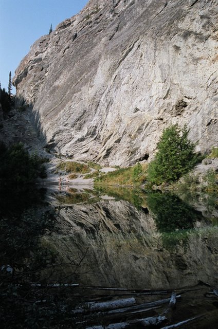
Grassi Lakes is a moderately short hike, up a good path to a popular climbing area for Canmore locals. It's named in tribute to Lawrence Grassi, who by all accounts, was a great individual. More later on the Lake O'Hara section of the trip.
Tuesday, October 24, 2006
Friday, October 20, 2006
Tuesday, October 17, 2006
Sediment, Lake Louise
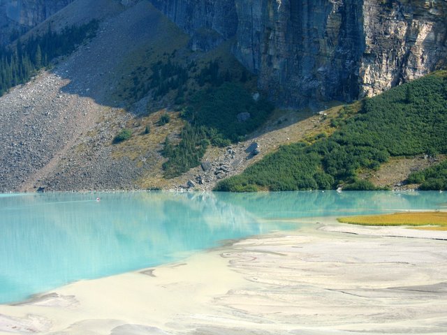
Lake Louise's unique turquoise color water is created by the glaciers at the head of the valley. The movement of glacial ice continually grinding away the bedrock creates rock flour (silt). This fine silt drains into the lake and much of the silt is suspended in the water. When the sun strikes the water, these particles absorb all the spectrum of colors except green and blue.
Monday, October 16, 2006
Stanley Glacier

Apparently named for the same Governor-General as hockey's greatest trophy, the view atop the Stanley Glacier hike is well worth the run/hike/slog. An easily approachable hanging glacier, multiple hundred foot waterfalls, and a series of peaks are your reward.
Stanley Glacier hike
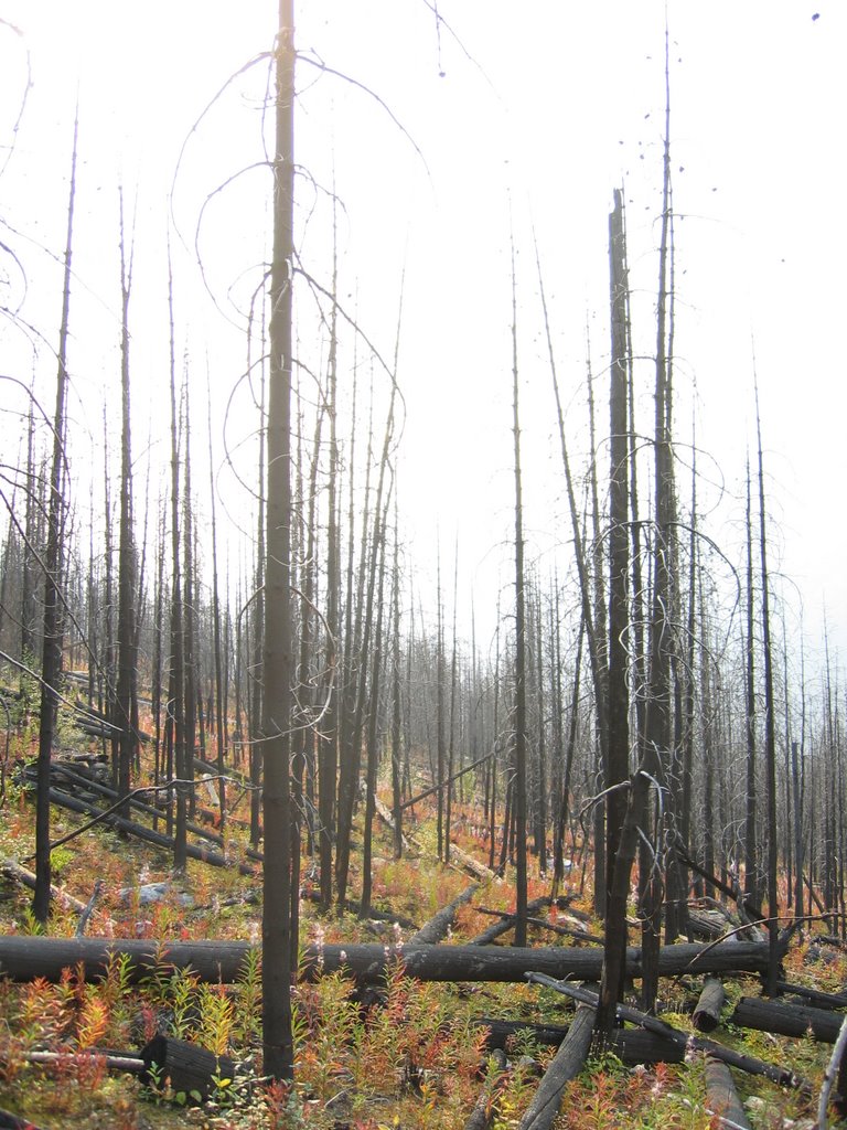
Continuing the pattern of "Seeing the Rockies when You're Always Late," we opted to run the Stanley Glacier trail. Key word being "run." It runs roughly 5 km due south of the highway, and gains 1200 feet - the majority of which we found to be in the first and last kilometres. It starts at the highway, and immediately rises through the remnants of a major burn. The forest is slowly regenerating with fireweed growing through the blackened lodgepole pines. You pass a few vistas of falling creeks - which provide a great excuse to stop and rest your burning lungs & legs.
Paint Pots

As the Park says,
"The Paint Pots and the associated ochre beds form an area of unusual physical and chemical activity and have a history of use by both Aboriginal groups and Europeans. The Ktunaxa (formerly Kootenay), as well as the Stoney and Blackfoot tribes, collected ochre here for important ceremonies and forAnother cool shot
trade. The yellow ochre was cleaned, kneaded with water into walnut sized balls, then flattened
into cakes and baked. The red powder was mixed with fish oil or animal grease to paint their bodies, tipis, clothing or pictures on the rocks. These paintings depicted many objects from day to day life as
well as more abstract drawings that may have originated in dreams or represented supernatural beings."
Tuesday, October 03, 2006
Glengarry Glen Ross meets the Grits
Put the coffee down. I come from downtown, gentlemen. I come from Mitch and Murray...
Paul Wells has some analysis of the Liberal race, but David Mamet got there first...
Paul Wells has some analysis of the Liberal race, but David Mamet got there first...


Subscribe to:
Posts (Atom)