Monday, July 18, 2005

Hootalinqua


Hootalinqua campsites.
At its peak in 1898, the Klondike gold rush saw nearly 30,000 gold seekers in 7,000 boats travel the Thirty Mile en route from Bennett, B.C. to the goldfields near Dawson City. Although Hootalinqua already existed as a stopping place for Teslin River miners, both it and Lower Laberge took on great importance during and after the gold-rush due to its important position at the junction of the main stampede route to the Klondike and the secondary "All-Canadian Route" which went up the Stikine River then overland to Teslin Lake, the NWMP built a post here in 1898. Although the permanent population was never more than about a dozen, a telegraph station was built in 1900, and Taylor & Drury had a store in 1901-1902. At Lower Laberge, there was a telegraph station, a North West Mounted Police post, supply depots, and later a roadhouse for travellers. At Hootalinqua too there was a telegraph station and police post, and later, on nearby Shipyard Island, slipways and a winter storage yard for paddlewheelers. Located between the two was 17–Mile Wood Camp, one of many along the river which supplied the insatiable boilers of the paddlewheelers.
Posted by Picasa

Teslin & Yukon Confluence


The Yukon is turquoise at this point, while the Teslin is brown. Posted by Picasa

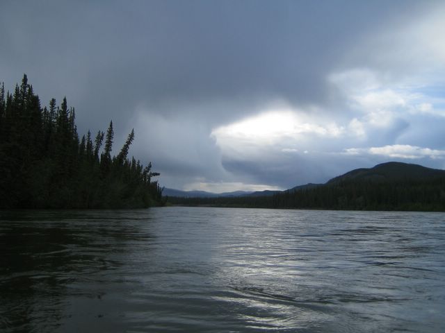
Afternoon Clouds, II


They become more ominous Posted by Picasa

Afternoon Clouds I


Posted by Picasa

Detail


Detail, Mason's Landing, Teslin River Posted by Picasa

Mason's Landing Cabin


Cabin, Mason's Landing, Teslin River Posted by Picasa

Mason's Landing


Mason's Landing, Teslin River. This was the head of navigation for sternwheelers from Whitehorse that were carrying supplies for the community of Livingstone Creek. The site was maintained until the 1930s. A number of cabins remain from the period still remain. Posted by Picasa

Canoe


In the infrequent periods of non-rain, you could unzip the rain pants and try to dry off... Posted by Picasa

Happy days Posted by Picasa

Easy way down Posted by Picasa

View from the cutbank Posted by Picasa

Getting there Posted by Picasa

Cutbanks


Wet cutbanks make for fun climbing, Teslin River Posted by Picasa

Cutbanks, Teslin River Posted by Picasa

KP


Kanoe People were nice enough to put their phone number on the life jackets, presumably so that if/when drowned clients bob through Dawson, someone can return the PFDs... Posted by Picasa

Bald eagle, Teslin River Posted by Picasa

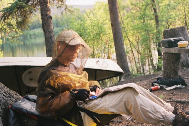
Yes, the bugs were bad.  Posted by Picasa

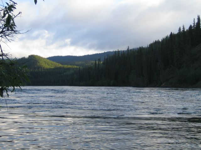
Teslin River Posted by Picasa

Flooded Campsite


At lower water levels, that would be a campsite at the confluence of the Teslin and Boswell River (need to check notes though). Posted by Picasa

Flower, Teslin River Posted by Picasa

Campsite, June 20.  Posted by Picasa

Cabin, Teslin River


Abandoned cabin from the gold rush era, Teslin River. Posted by Picasa

Moose and Calf


Moose and calf swimming across the Teslin River. The river was moving at about 8 kph, so they were swept several km downstream. Posted by Picasa

Fire Ring


The water levels were extremely high. A view of a campsite firering that happened to be underwater. Apparently, at lower water levels, people camp on sand (gravel) bars, avoiding the plague of mosquitoes that were in the woods. Posted by Picasa

Teslin River, First Night


Teslin River - Campsite for our first night, June 19th. Km 168 on the Rourke map (just above 100 Mile Landing).
Posted by Picasa